Eau Claire Conservation Area
Graham Rd, Calvin, ON P0H
[two_third_last][/two_third_last]
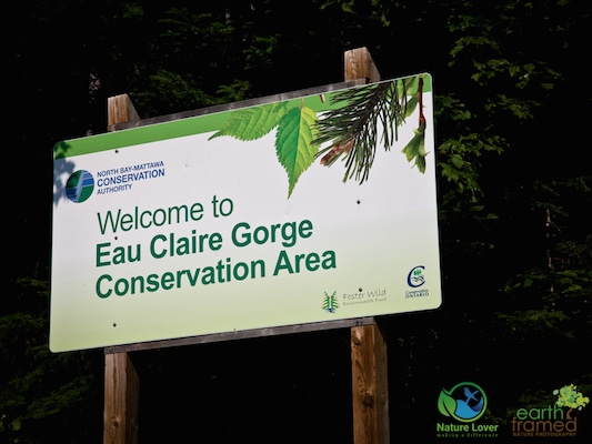
Eau Claire Gorge Conservation Area is within driving distance from Algonquin’s Kiosk Access Point and Samuel Du Champlain Provincial Park. From Highway 17 you would head south on Highway 630 and follow the signs to the conservation area.
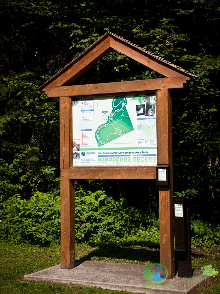
Trail head marker with map and interpretive booklet.
The drive into the park is along a winding road surrounded by a beautiful forest. When you get to the parking lot you will find a new privy, a trail map and an interpretive booklet that you’ll want to grab because it is a great source of information about the geology and history of the area.
Access to the conservation area is completely free but other than the privy and some picnic tables, there are no facilities.
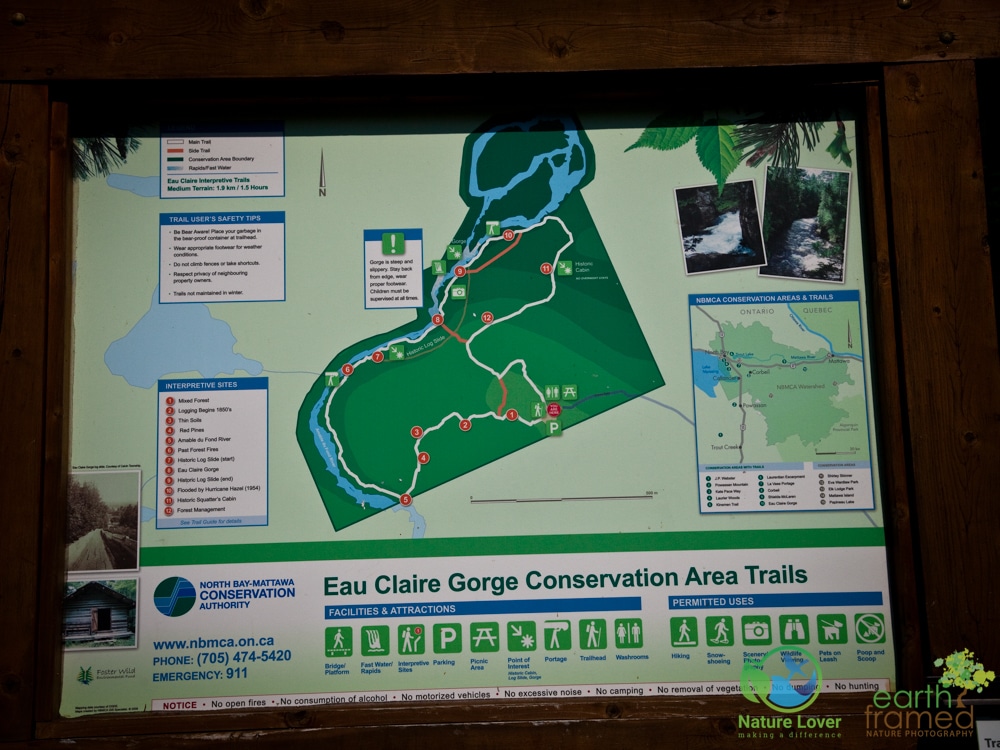
The trail can be done in several different loops or you can go directly to the gorge/falls lookout area. The trail is about 1.9 kilometres long if you complete the white trail as marked.
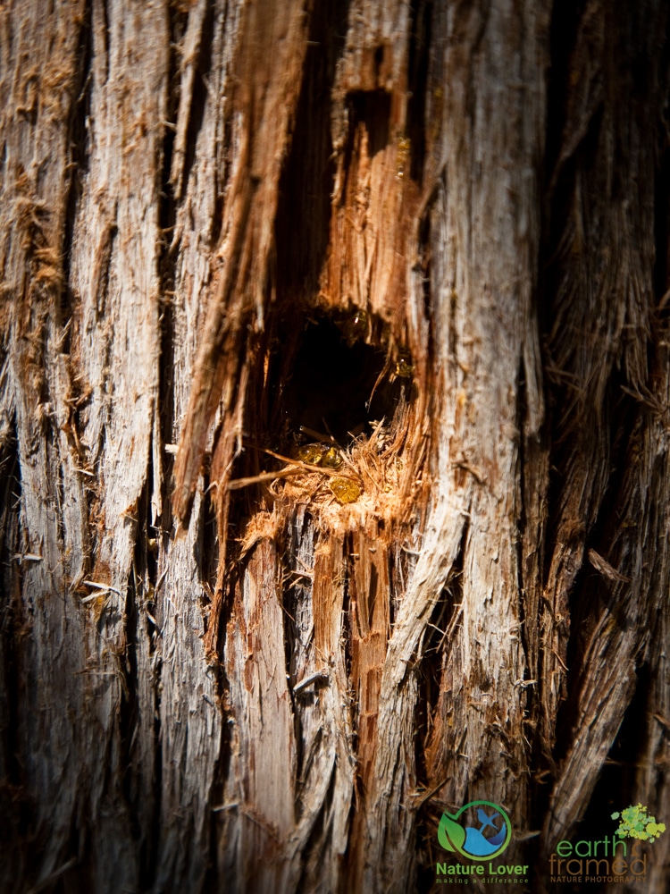
This hole, created by a woodpecker, was seeping with fresh sap.
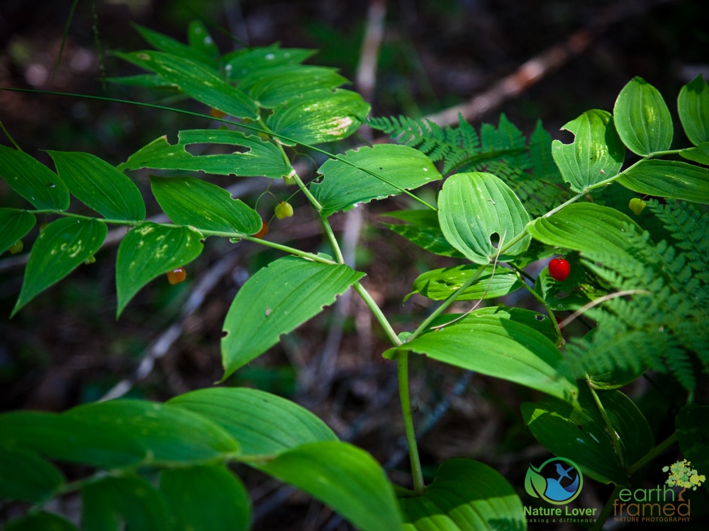
White Mandarin or Clasping Leaf Twisted Stalk
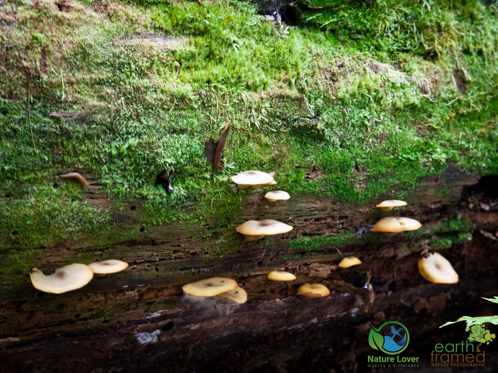
Mushrooms and moss growing on dead fall
The trail had a wide variety of plant life, including ferns and other vascular plants.
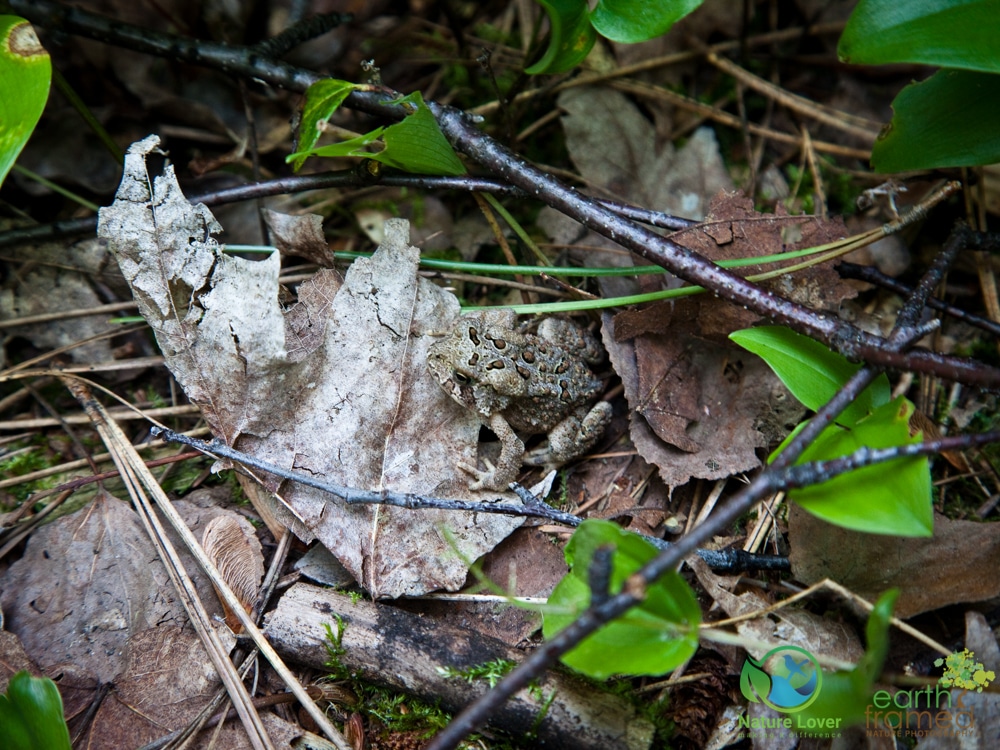
We saw dozens and dozens of American Toads all along the trail with different markings and colourings. There were many different sizes but they were all American Toads.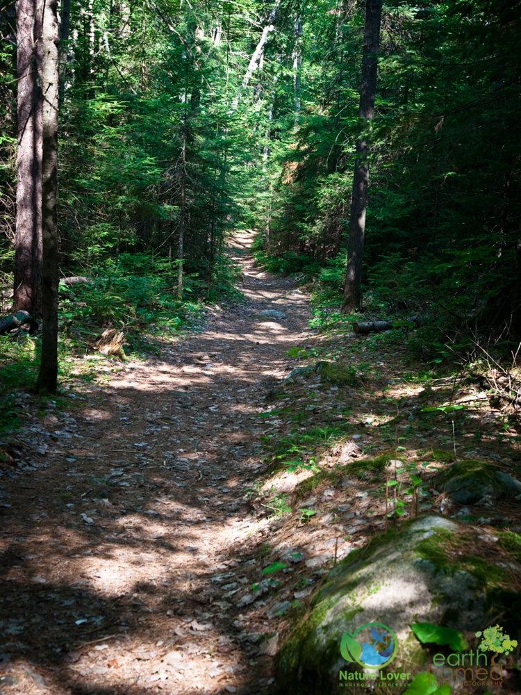
The trail was fairly easy in the wooded sections and got more difficult as we hiked closer to the edge of the river and then up toward the top of the gorge. 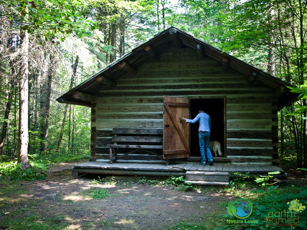
Along the trail we came across this cabin. This loggers’ cabin had been partially restored in 1989 and had a bunk and table set up inside. This cabin is for day-use only and visitors are not allowed to camp here overnight.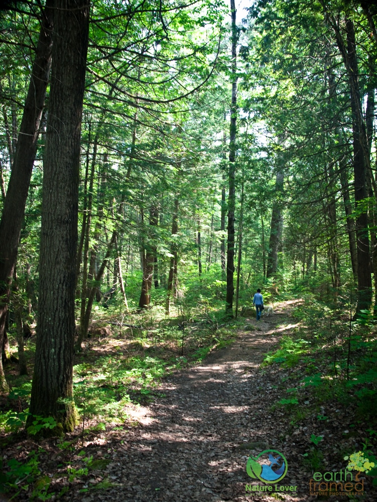
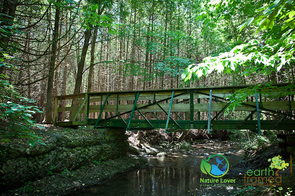
The trail was well groomed and well marked and would probably be quite nice to snowshoe in the winter time!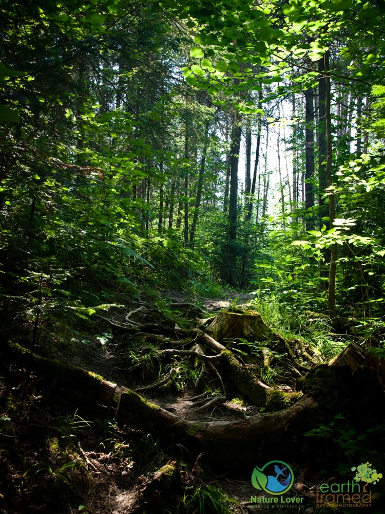
There are parts of the trail that are rocky or that have plenty of roots to maneuver around. You wouldn’t want to take a stroller or bike on this trail unless you were willing to do quite a bit of lifting.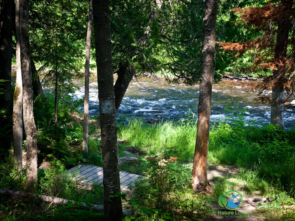
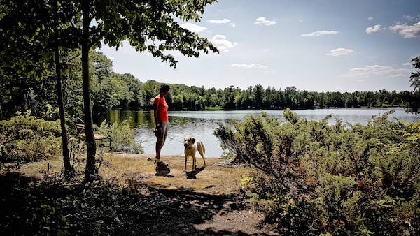
This was the first view we had of the Amable du Fond river. The water levels were high for July, but it obviously gets much higher considering the boardwalks that were in place over low lying areas. 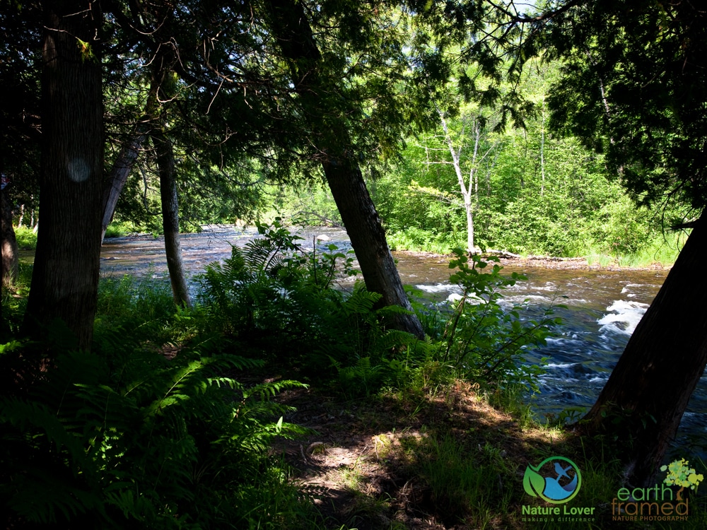
The trail continued along the edge of the river and we could hear the gorge from quite a distance.
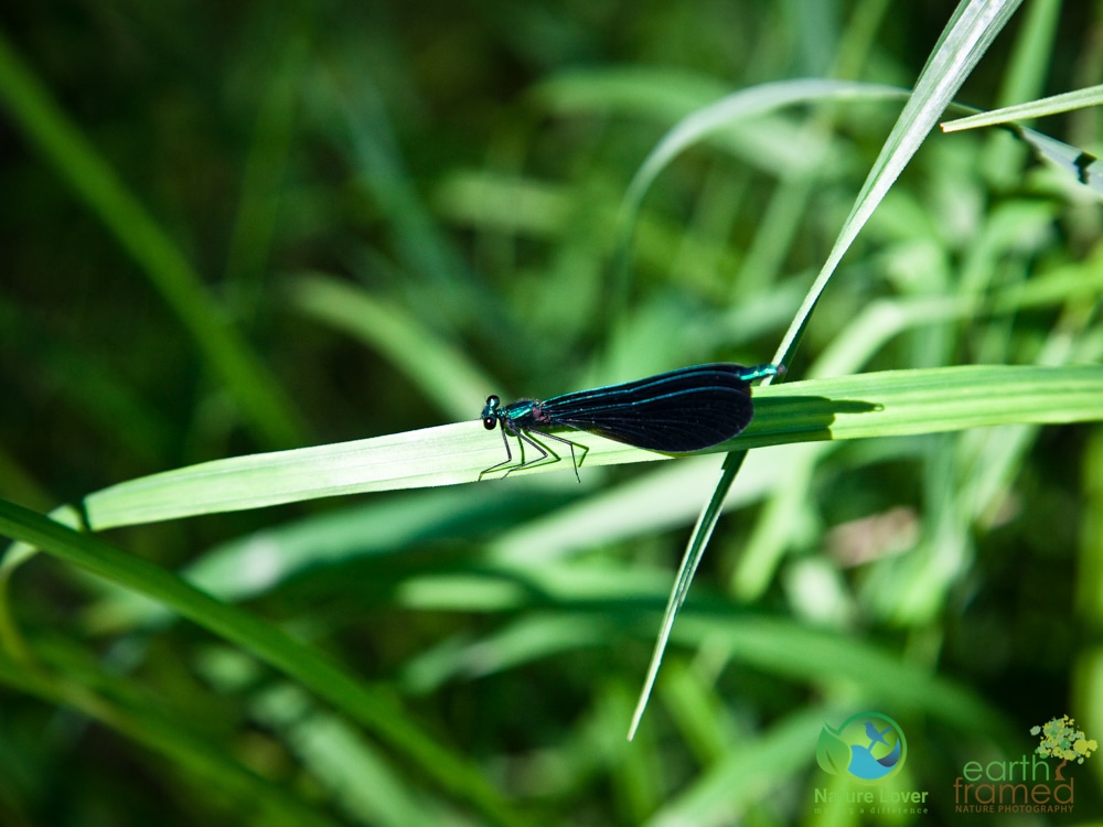
Male Ebony Jewelwing Damselfly
There were several areas along the edge of the river that we came across a number of damselflies basking in the sunlight. At home I identified the above damselfly as the male Ebony Jewelwing. I also had a few images of the female which is the same shape but she is all black with a small, almost rectangular patch of white at the top of her wings.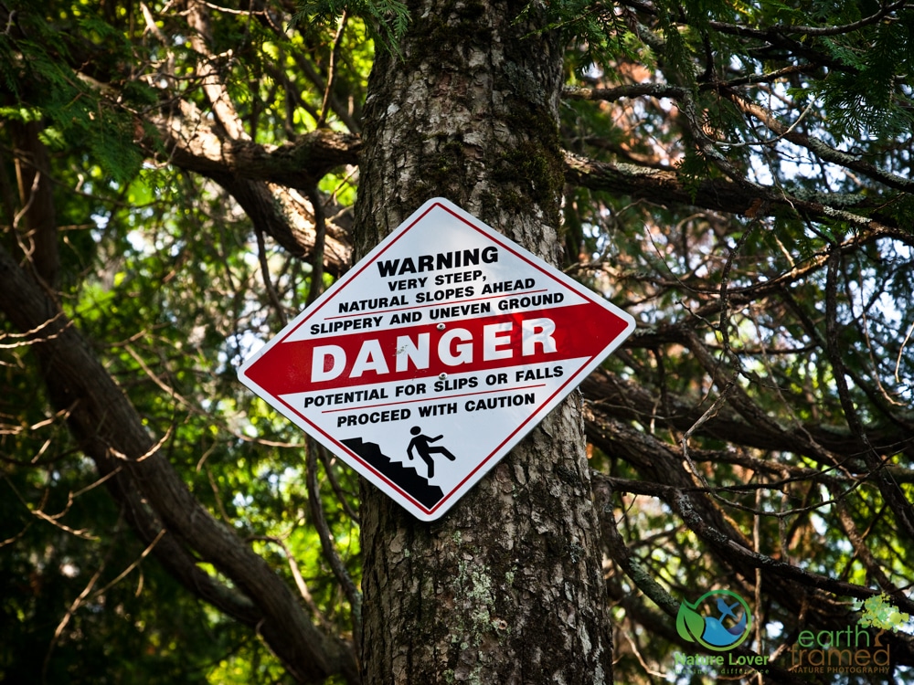
The trail rose up from the river as we hiked closer to the actually gorge. There were several warning signs posted as the edge got steeper and more dangerous. 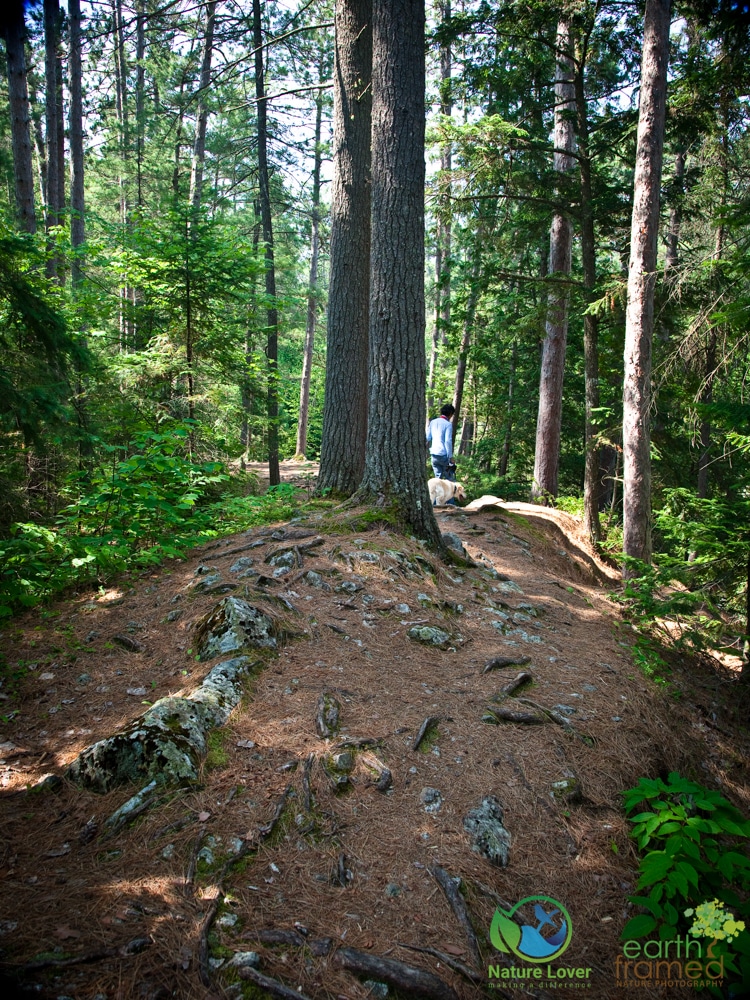
The variety of trees, terrain and elevations made for a very interesting hike. 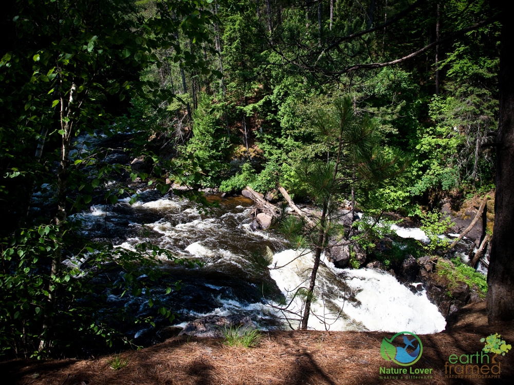
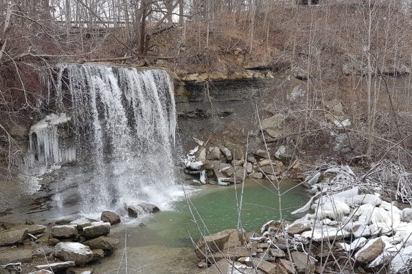
This is a view of the top of the ‘falls’ or gorge. We stayed away from the edge since it was obvious that it had been eroding and the topsoil wasn’t supported as much as it should have been. We were surprised that a fence hadn’t been put up to try to keep people from the edge. It makes for a nice view and for pictures but please be careful near the edge and keep children close.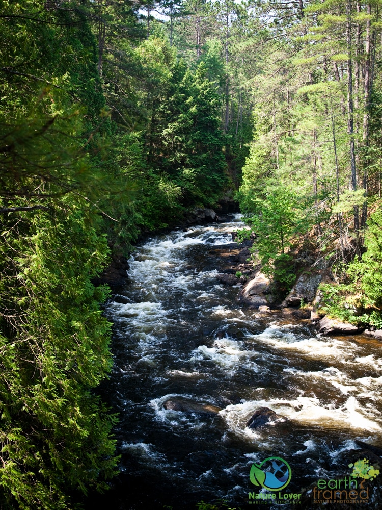
The view of the top of the gorge as the river enters the cascading falls.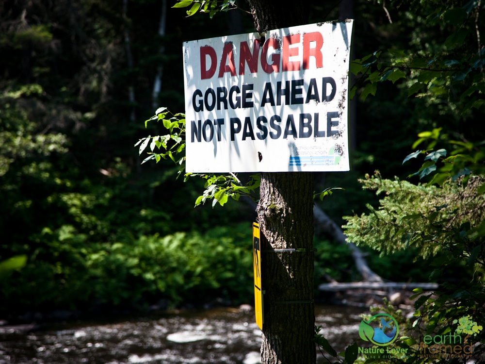
A bit farther up we came across this sign. If you look carefully you’ll see the portage symbol on the yellow sign below. This is the point where canoes need to exit the river and portage around the gorge. There is no way that a canoe would make it down the gorge / falls no matter how low or high the water level was.
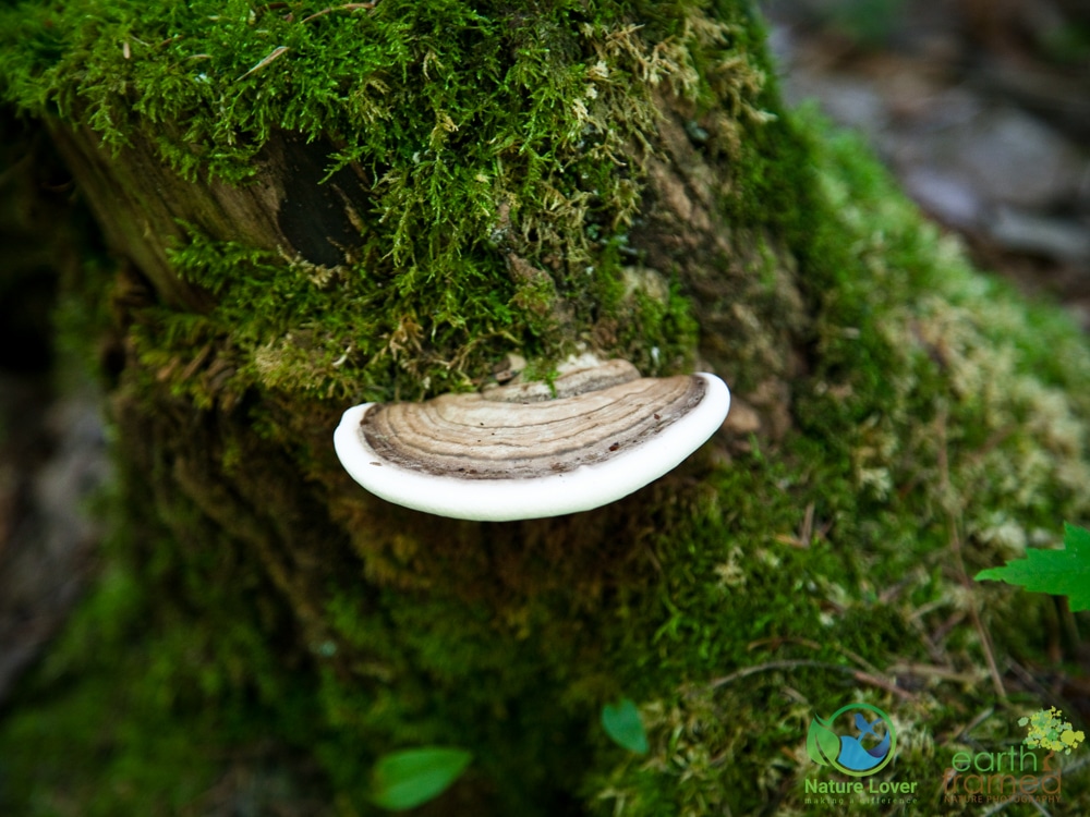
Beautiful specimen of an Artist’s Conk, which is a type of bracket fungi.
The interpretive brochure gave a lot of information about the history and geology of the trail. We would definitely recommend you use it during your hike. You will learn about the techniques used in the area when there was logging (including a historic log slide) and how the gorge was actually created during some extreme seismic events in the distant past.
If you are staying at either of the nearby provincial parks or even in North Bay, it is definitely worth the drive to hike this trail.
Check it out and tell us what you think.