[one_fifth]
Address:
GPS:
Telephone:
Website:
Operating Dates:
Our last visit:
[/one_fifth]
[four_fifth_last]
Hwy 60 P.O. Box 219, Whitney, ON, K0J 2M0
Latitude: 46.090852848331100 Longitude: -78.88372421264650
(705)-633-5572
https://www.ontarioparks.com/park/algonquin/kiosk
Camping Dates – April 22, 2016 – October 10, 2016
2015
[/four_fifth_last]
Algonquin Provincial Park was officially designated as a provincial park in 1893. The entire park covers over 770,000 hectares in the Nipissing District in Northeastern Ontario, and is about 75 kilometres southeast of the city of North Bay. There are non-electrical 26 campsites. The campground is primarily designed as an canoe access point for trips into Algonquin Park. The campground has a small picnic shelter on the beach, a small park store that sells maps, some souvenirs, wood and ice, flush toilets and a public telephone. Swimming is available at their one sandy beach. Pets can swim in any area that isn’t marked as public swimming.
What Makes The Park Special?
Kiosk is a quiet, small campground that is more of a stopping over point than a long-term camping location. The Kioshkokwi Lake is clean, clear and wonderful for swimming, canoeing and fishing. The skies are dark, clear and perfect for star gazing. Most of the sites offer quite a bit of privacy and there are several waterfront sites available.
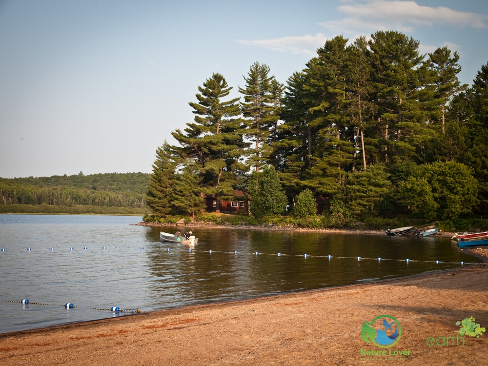
Rent the cabin, take out your motorboat or swim at the campground’s sandy beach.
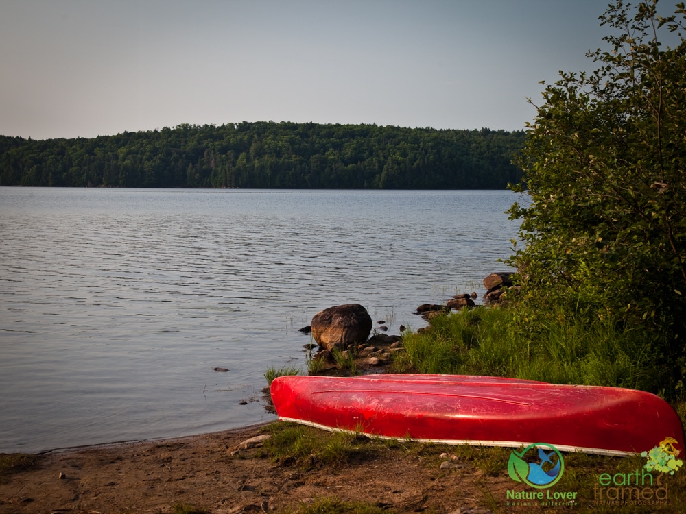
Kiosk is an access point for canoe trips into Algonquin Park.
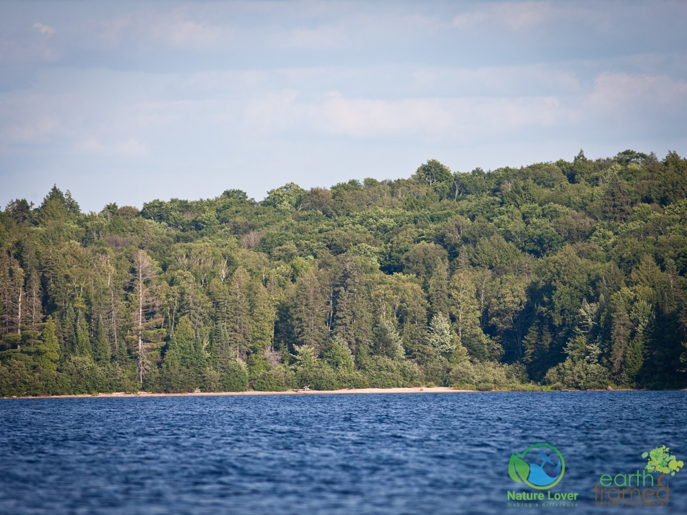
Take a canoe to one of the many sandy beaches along the shores of Kioshkokwi Lake. Pets are allowed to swim at any of these undesignated beaches.
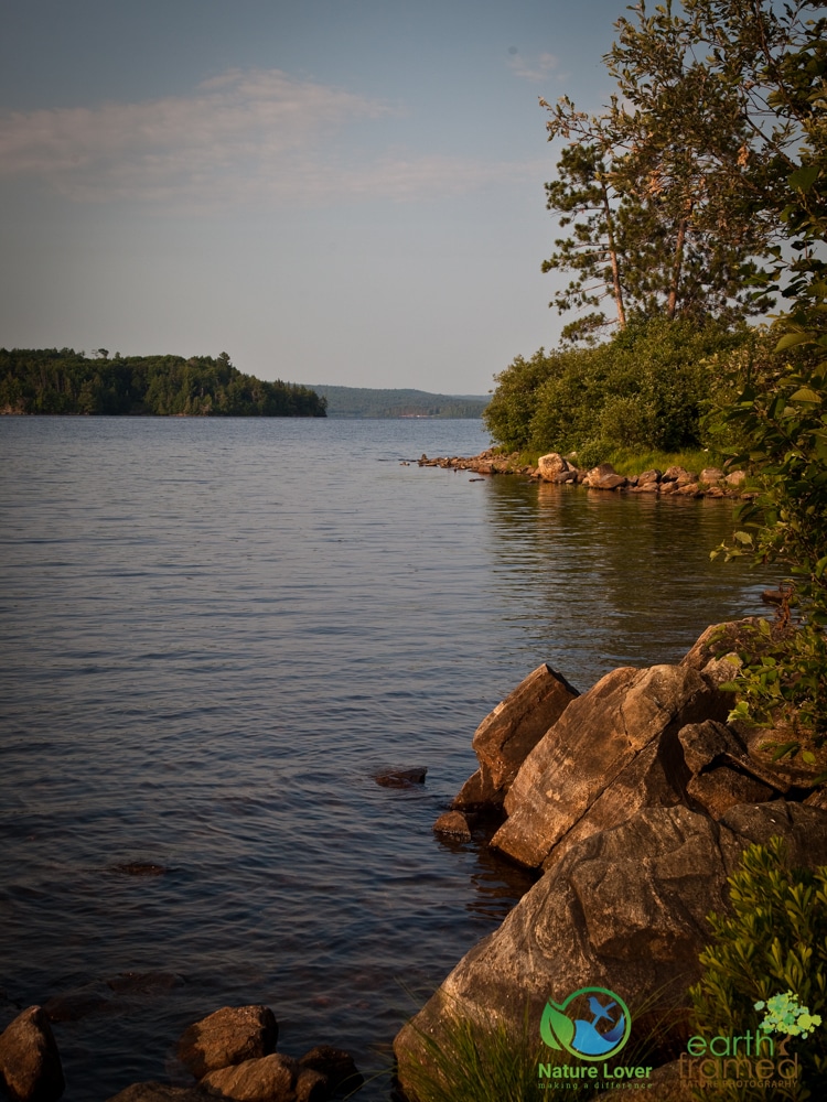
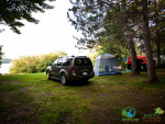
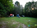
Views from the shore in front of our campsite.
Once you turn on to Highway 630 from Highway 17 you will drive about 35 kilometres down a fairly smooth paved yet winding road to actually get to Kiosk. There is an outfitters, Algonquin North, at the corner where you can buy some camping supplies, souvenirs and this is the place you would rent canoes from. They offer free delivery to Kiosk.
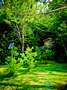
New cedar composting privy.
The drive down to the campground was actually quite enjoyable but it makes the location less than suitable if you are hoping to use it as a base camp for exploring the area by vehicle. If that is your purpose, we would recommend camping at nearby Samuel De Champlain instead since it is right off of Highway 17.
Once you reach the park you will check in with the ranger at the park office. There you can pick up maps for Algonquin park, buy a few souvenirs or get wood and ice. We were pleasantly surprised to find flush toilets and sinks at the bathrooms. There was also a brand new cedar composting privy which was clean and pleasant to use.
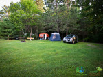
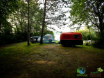
Our site, #9, was amazing. It was huge, with lots of mature trees, plenty of privacy and it had a beautiful view of the lake. I think the only thing it was missing was a sandy beach (the shore was rocky and unsuitable for swimming).
There are no hiking trails at this campground. If you want to hike you’ll have to drive back out of the park to either Eau Claire Gorge Conservation Area or Samuel De Champlain Provincial Park. This is a place that you really need a canoe to enjoy any length of time. Have Algonquin North delivery you a canoe while you are here and paddle around Lake Kioshkokwi and explore the area.
We would definitely come back to Kiosk but we would rent or bring a canoe next time!
— Check out our 2015 Algonquin – Kiosk Campsite: Site# 9 —
Eau Claire Gorge Conservation Area • Calvin, ON • 1.9 kilometre interpretive trail • Trail Map
Samuel De Champlain Provincial Park • Highway 17 • Trail Map
• Wabashkiki Trail • 1 km loop • easy
• Forestry Research Trail • 1-2 km • easy
• Kag Trail • 2.5 km • moderate with steep climbs
• Etienne Trail System
• Ecology Loop (Red Pine Loop) • 2.5 km • moderate
• Geology Loop • 5 km • moderate with steep cliffs
• Nature Loop • 8.5 km • moderate with steep cliffs
• History Loop • 9 km • moderate with steep cliffs
Biking
Canoeing
Hunting
Swimming
Birding
Fishing
Kayaking
Winter Activities
[one_third_last]
Boating
Hiking
Natural Heritage Education
Other
[/one_third_last]
Backcountry Camping
Car Camping
Electrical Sites
Group Camping
Park Store
Picnic Shelter
Visitor Centre
Barrier Free Access
Comfort Station(s)
Flush Toilets
Laundry
Pet Exercise Area
Radio Free Sites
[one_third_last]
Boat Launch
Day Use Area
French
Non-Electrical Sites
Pet Swimming Area
Rentals
[/one_third_last]
Natural Heritage Education • offered once a week in the summer at the park. Check the Park Tabloid, online or the Park Store for details.
Beaches • Samuel de Champlain Provincial Park • Mattawa Island Conservation Area • Papineau Lake Conservation Area
Conservation Areas • Mattawa Island Conservation Area • Papineau Lake Conservation Area
Provincial Parks (non-operating) • Amable Du Fond River (Latitude: 46.21065622 Longitude: -78.92656557 )
Provincial Parks (operating) • Samuel de Champlain (Latitude: 46.29000 Longitude: -78.86000 )


