Chutes Provincial Park only has one trail but it is a beautiful one. Twin Bridges Trail is a 6 kilometer hike of moderate difficulty. The park offers a guide for the trail, which is where I got any specific details for this post, other than experiencing the trail myself.
“The Twin Bridges Trail incorporates three viewing platforms, two bridges and spectacular views of the River aux Sables and the Seven Sisters rapids.”
On our first day at the park we walked from our campsites (in section A) down to the falls where the trail head actually is. The next day we hiked toward the main part of the trail.
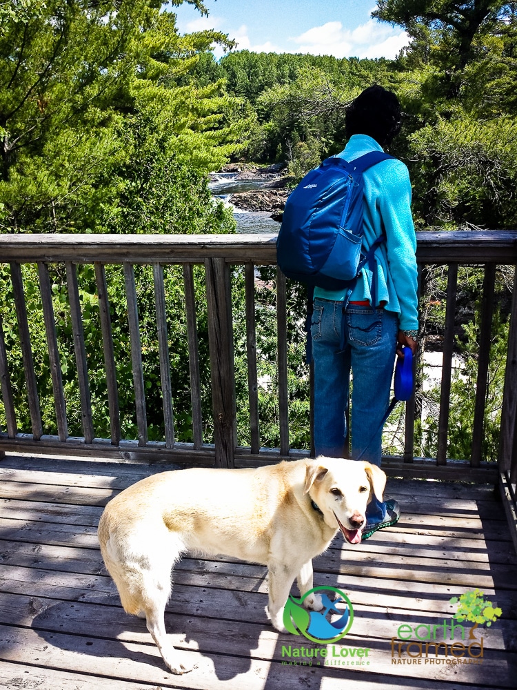
At the first viewing platform, which is the west side of the river, we stopped to take a look some of the rapids. Maya was already excited to be so close to water and she knew that at some point in the day she would be enjoying it first hand.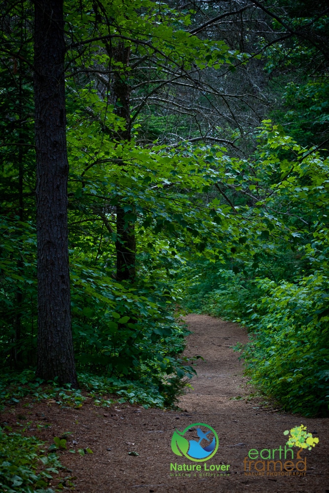
Parts of the trail were very flat and easy. You can see the trails are covered in pine needles and along the edges are a variety of wildflowers.
The day was absolutely perfect to hike along a river and into the forest. Clouds scattered across a blue sky and dull reflections appeared at the edges of the shore.
This ‘horsetail’ cedar anchored itself on the side of a boulder surface and clung to the shallow earth that contain the moisture it needed to thrive.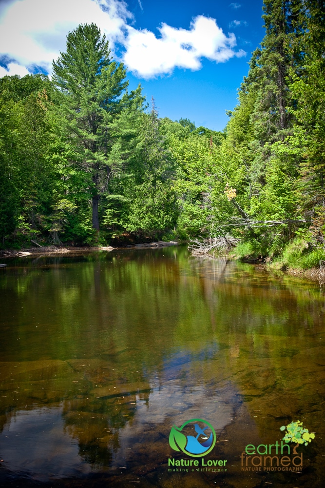
The river was calm and clear at the top of the trail before it started crashing over the rocks of the seven different rapids that started just around the riverbed. 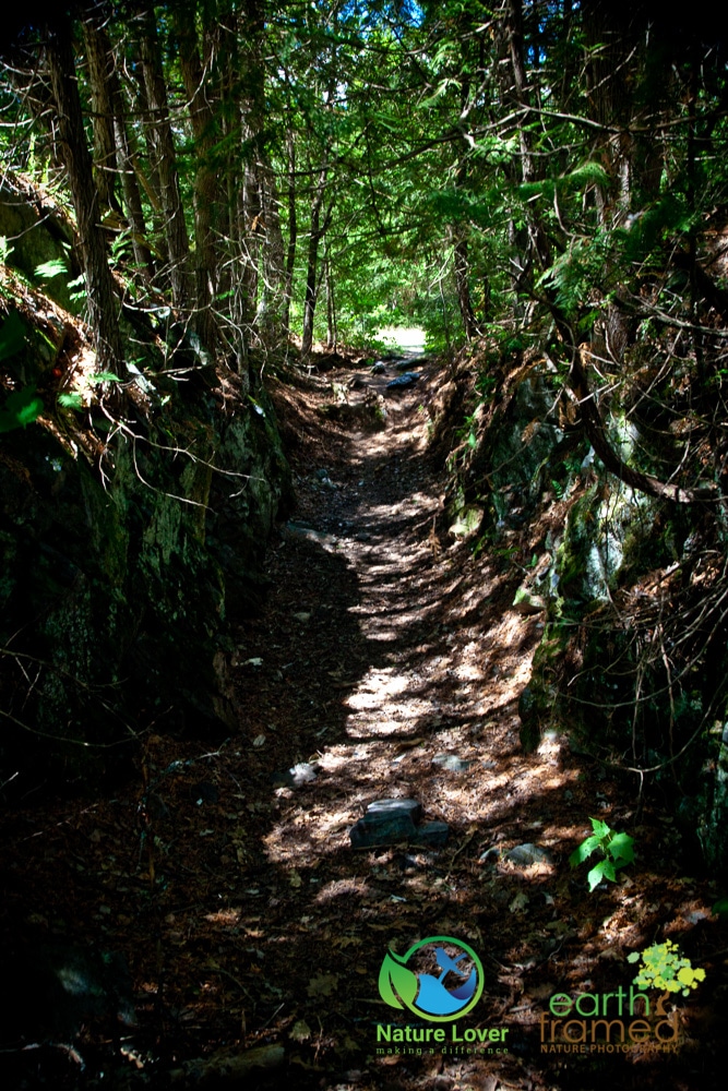
An interesting feature along the trail. This path has been carved out over the years from erosion and trees and moss now cling the edges of the rocks underneath.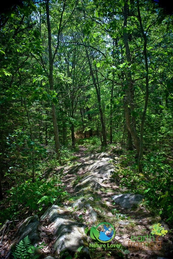
On the other side of the river the trail becomes more difficult and the Canadian Shield is exposed to create a more rugged landscape. 
The east side of the river clearly had a greater variety of trees, wildflowers and therefore wildlife. There were also a lot of ripe wild blueberry bushes along the trail edges.
If you want to had the best access to the river, head to the east side of the trail where you will be able to walk right down onto the rocks.
While we were exploring the water’s edge and the rocks we found these amazing water erosion marks.
 The trail was well marked and easy to navigate. It is also easy to do the trail in segments if you didn’t want to do all 6 kilometres at once. We did not do the second loop of the trail on the east side.


