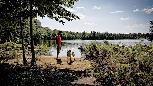
In mid May of 2016 we packed the truck with food, camera gear and Maya, and headed up toward Tiverton to complete some of the stops on our yearly Bruce Adventure passport. On such a beautiful spring day, it was the perfect weather to go for a drive and check out some of the stops while looking for places to hike.
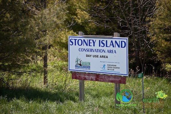
One of the stops was located on one of the trails at Stoney Island Conservation Area near Tiverton. Part of the Saugeen Conservation Authority, Stoney Island offers over 6 kilometres of trails that are available year-round. Entry fees are by donation only and there is sufficient parking available for free.
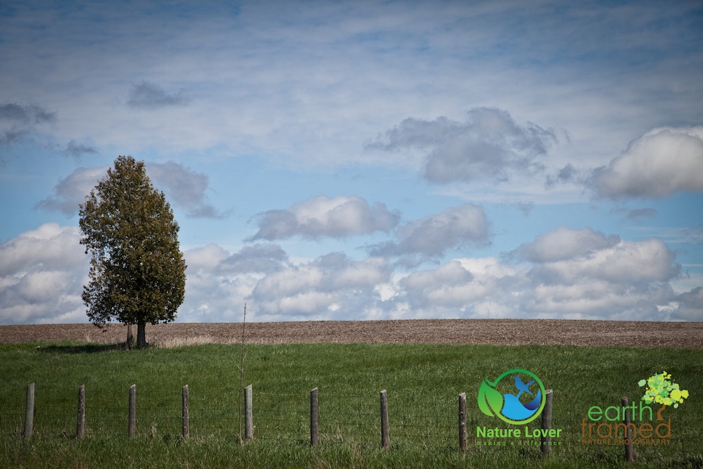
It was a cool enough day but the skies were gorgeous and clear.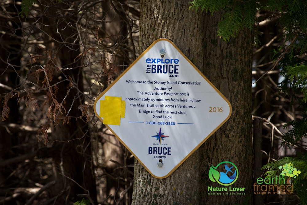
At the parking lot we found the Bruce marker for the ‘detour’. It’s important to find and read these signs because they will let you know more details and the time it may take to complete the stop. In this case they told participants that the box was 45 minutes away, which actually makes this a fairly long walk compared to most stops. We found they should have also put in the difficulty level since the hike wasn’t difficult, but it certainly was easier, either.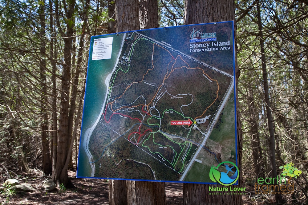
Before heading out on any trail, it’s important to know where you are going. Be sure to either download the trail map from the internet or take a picture on your phone or camera to reference. As you can see, the map system is somewhat complicated and the trails intersect and loop multiple times.
We actually ended up taking the long way to the box, but it was a lovely trail, so we didn’t mind.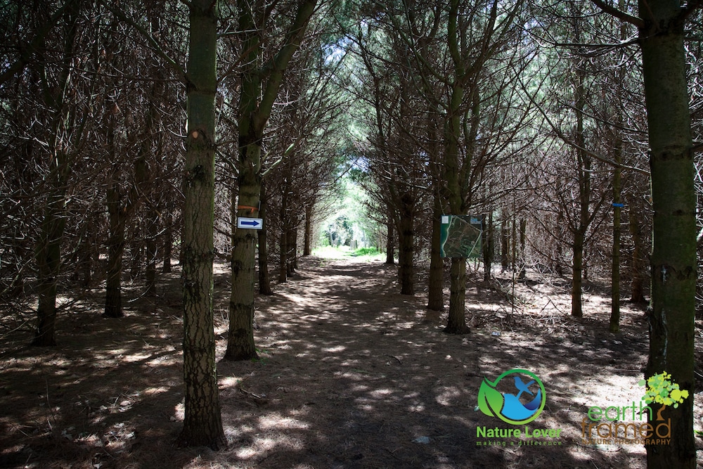
We started off down this trail, as the marker told us told.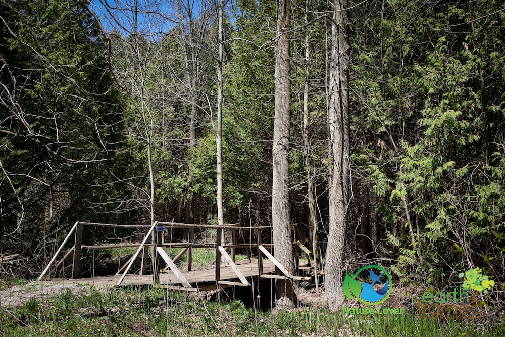
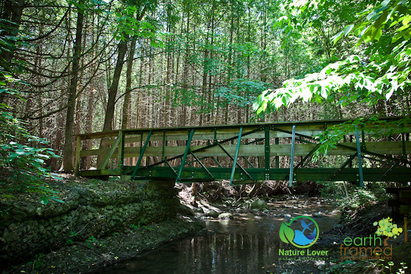
We found the first bridge after walking through a fairly open field with long grass.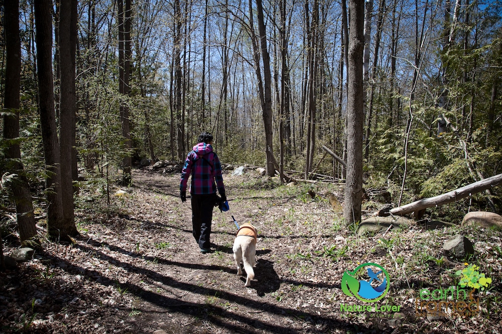
Maya had walking somewhat slowly, but steadily at this point in her life. We stopped often to look at wildflowers, trees and to listen for birds.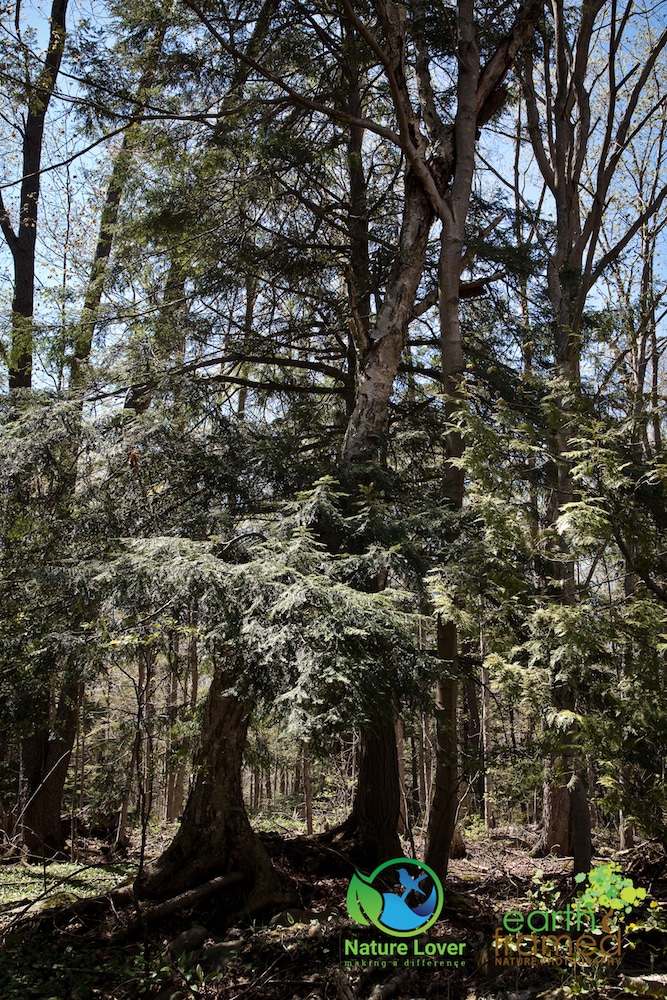
The conservation area had some interesting trees and we went up and down several hills during the hike.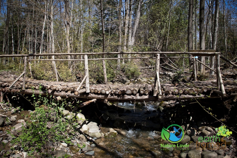
The second bridge was an older log covered bridge beside a newer one the went over this babbling brook. 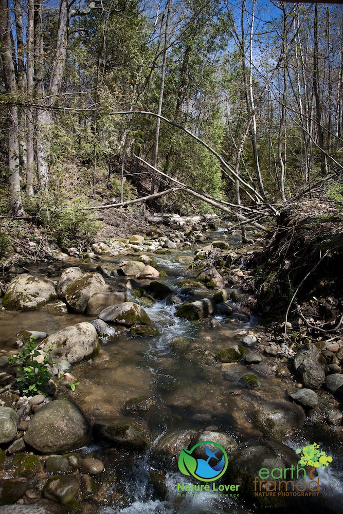
This little stream trickled down toward Lake Huron at its own pace and was obviously much lower that usually for spring-time.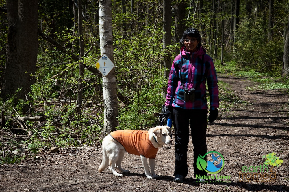
Maya was sporting her Ruffwear sweater, while Chitra was bundled up for the cool, yet pleasant spring day.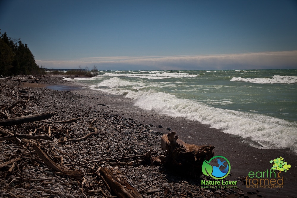
The trail ended up running parallel to the shoreline, so I took the opportunity to take a few shots of the beach area. After the winter there is often a lot of washed up debris and logs on the beach. 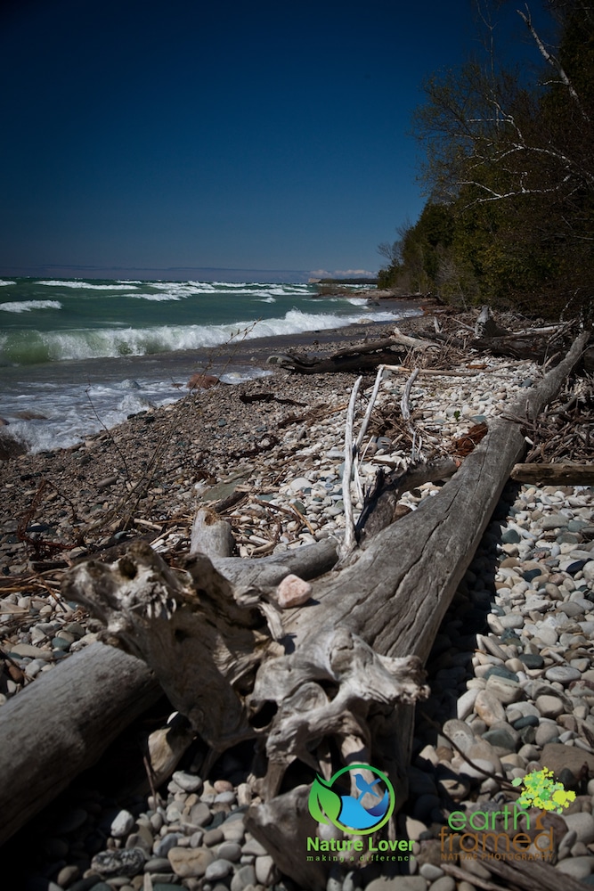
I was pleasantly surprised to find that most of the debris was natural and not human garbage and plastic. As you can see, if was a fairly windy day but the forest blocked a lot of the breeze so that we weren’t getting the cold winds from the lake during the hike.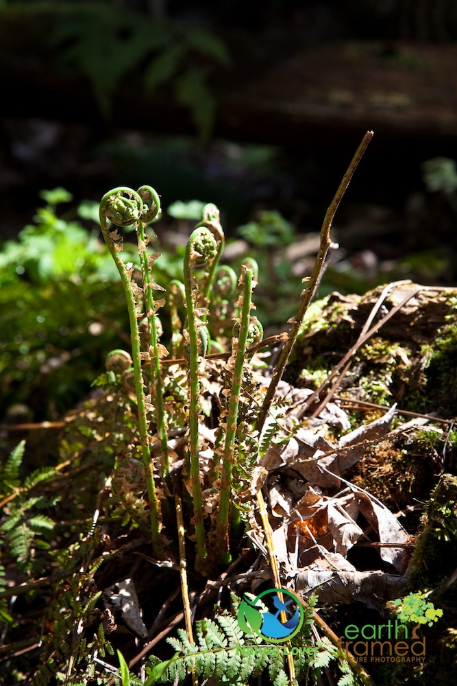
Along the way we found a lot of ferns and fiddle heads peeking their ‘heads’ up out of the ground. The young fern fronds of some ferns can be eaten as a cooked vegetable. Many cultures, like those in Northern France, some parts of Asia and among the Native Americans, have made this plant part of the regular diets for centuries.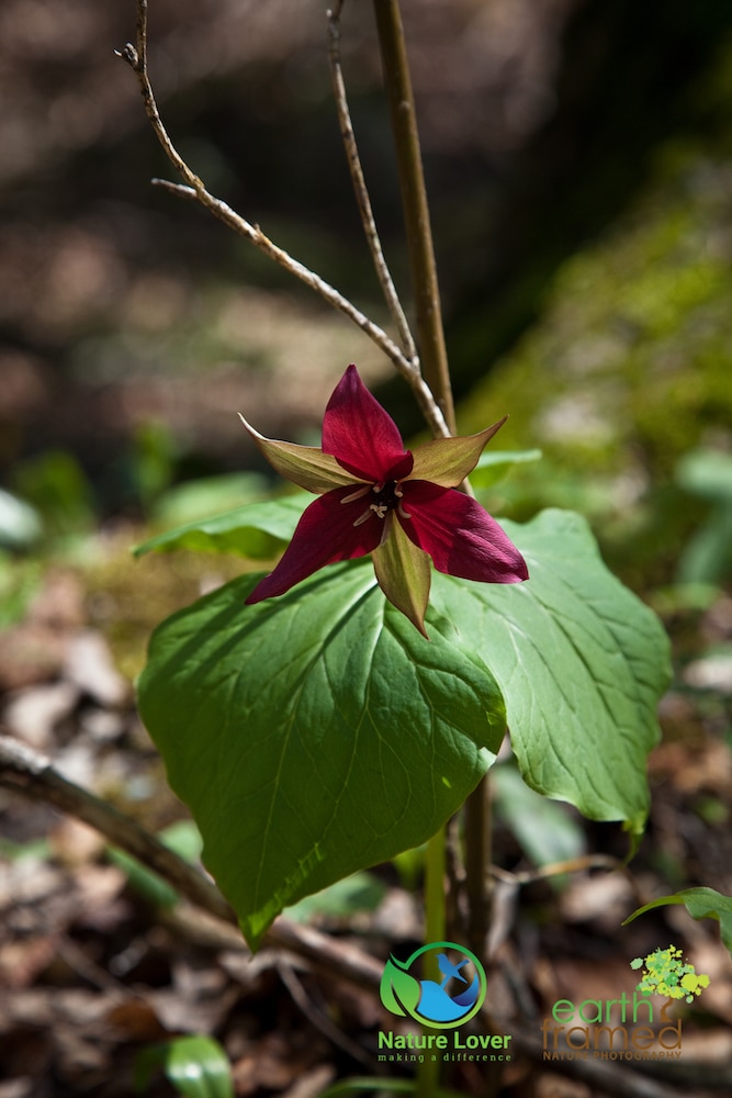
There were also some large red trillium scattered throughout the forest floor. Other common names for this native plant are: American True-Love, Indian Shamrock and Stinking Benjamin.
We thoroughly enjoyed our hike at the Stoney Island Conservation Area, even though it was much longer than we had anticipated. We did have to carefully walk around some pretty muddy sections, but that is to be expected in the spring. Our biggest piece of advice is to have a colour-coded trail map with you and keep referencing it, or you could hike around in circles all day.


