There are several access points to the Duncan Caves Trail, which goes through the Duncan Escarpment Nature Reserve and is part of the Bruce Trail system. In 2008 we hiked into the crevices via the northeast trail entrance on 9th Sideroad (see Google map). The whole trail is about a 10 kilometre loop, but we just hiked into the crevices and then hiked back out the way we came. It’s important to know how long a trail is before you hike it, so that you don’t get stuck on an unknown trail at night without a flashlight.
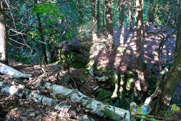
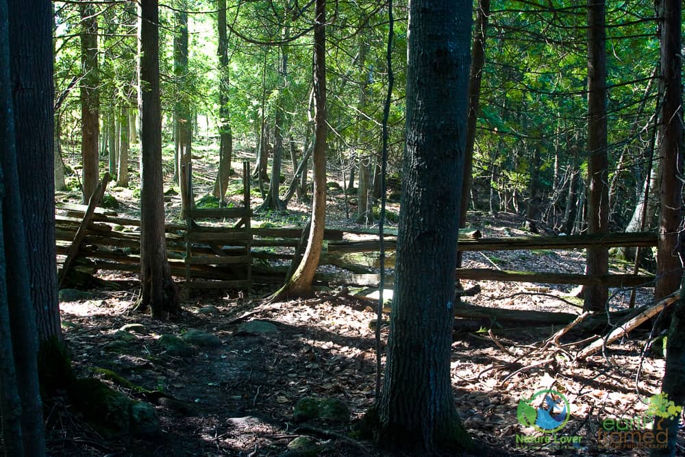
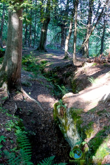
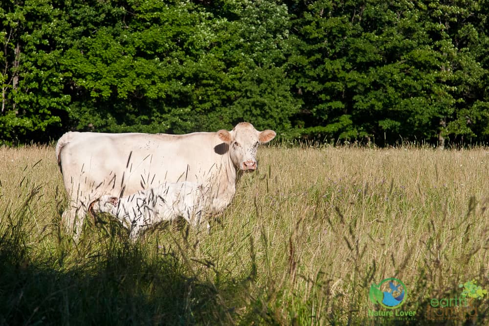
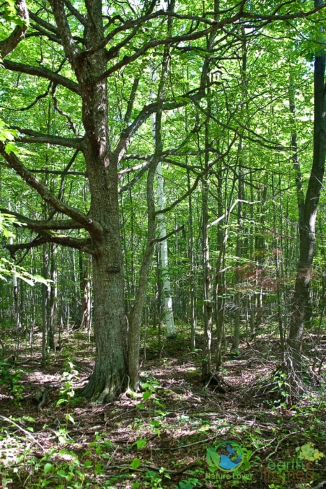
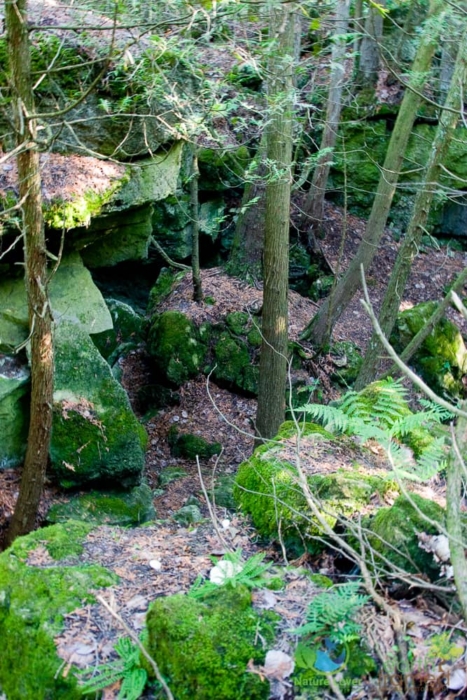
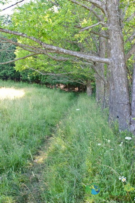
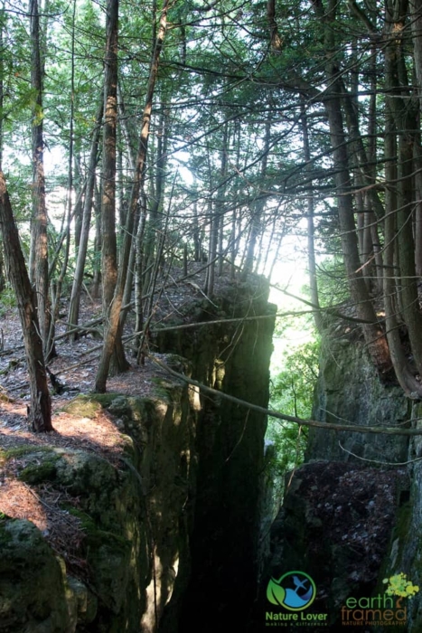
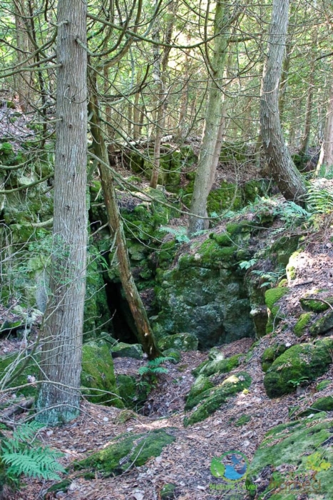
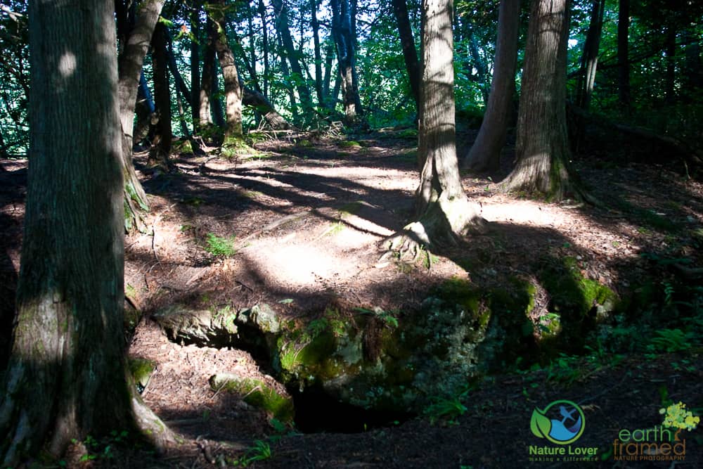
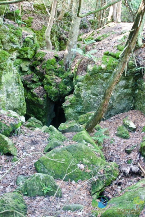
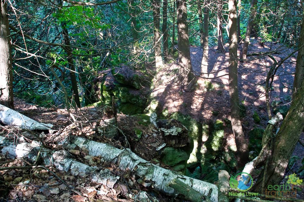
The trail was quite diverse. We started in a forest and then the trail took us through a pasture that had cows grazing in it. After we went up a few inclines, and up and over some stiles, we came to the crevices. There are a few small wooden bridges along the trail, but we ventured off the trail a bit to look around. We climbed down to get a better view of the crevices and the nearby cliff. We were very careful not to get too close to the steep edge and we were hyper vigilant about where we placed our feet and which trees we used for support.
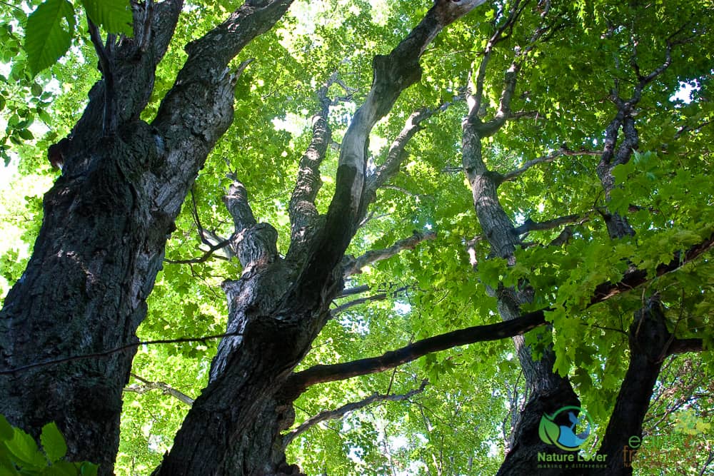
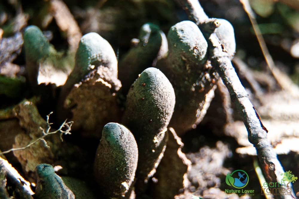
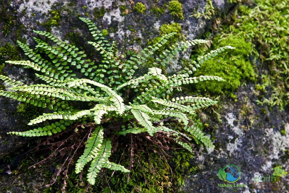
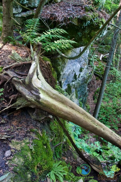
The forest had tons of different mushrooms and fungi that we spotted, as well as some ferns growing out of rocks. The region is considered to be environmentally significant and was definitely very interesting to explore. The trail itself wasn’t difficult to follow or to traverse.
Sometime in the future we plan to check out other parks and natural areas in the region. If you look on a Google map, you’ll find this part of the province offers many nature reserves and management areas for the outdoor enthusiast. Metcalfe Rock is just around the corner from Duncan Escarpment, which I’ve never visited, but it’s on my list!
Next time I’ll be taking more than my point and shoot on the trail!


