
In a previous post we listed a Google map of the trails you can enjoy, in and around Lambton County. In this post we’d like to share links to any trail maps put out by the organizations that maintain those trails. This list does not include any trails that we haven’t been able to find an actual map for. If we have missed any, please let us know!
[one_half_last]
Lambton County Heritage Forest
Lambton Shores Nature Trails with GPS
Lambton Shores & Vicinity Nature Trails
Lorne C. Henderson Conservation Area
Pinery Provincial Park Overview Map
[/one_half_last]
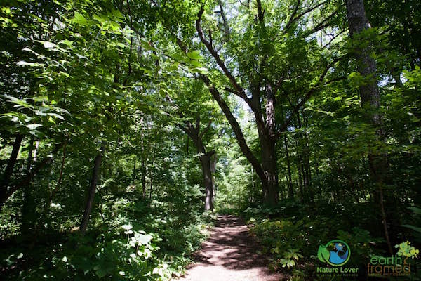
Below are some of the trail head maps that I have photographed on my hikes in Lambton County. Be sure to check our blog posts of local parks to get more information and see images during different seasons!
-
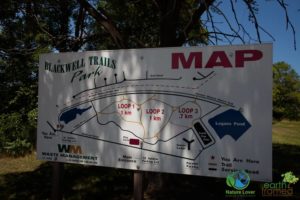
- Blackwell Trails Park Map
-
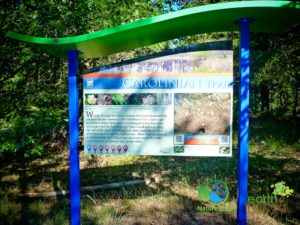
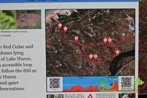
- Carolinian Trail Map
-
- Cedar Trail Map
-
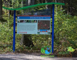
- Heritage Trail Map
-
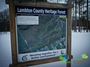
- Lambton County Heritage Forest Trail Map
-
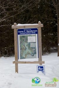
- Lorne C. Henderson Conservation Area Trail Map
-
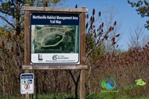
- Marthaville Habitat Management Area Trail Map
-
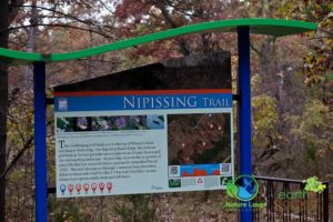
- Nipissing Trail Map
-
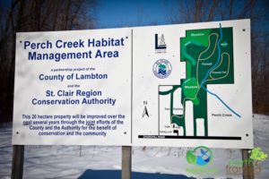
- Perch Creek Habitat Management Area Trail Map
-
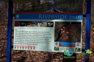
- Riverside Trail Map
-
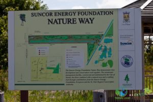
- Suncor Energy Foundation – Nature Way Map
-
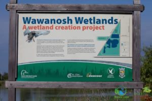
- Wawanosh Wetlands Map
-
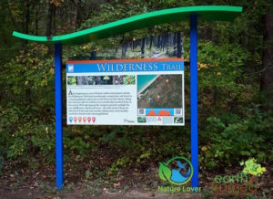
- Wilderness Trail Map
Comments(2)
Ross Atkinson says:
November 3, 2019 at 10:53 amThese two links are broken…
Lambton Shores & Vicinity Nature Trails
‘L’ Lake Management Area
Tricia McLellan-Dath says:
November 4, 2019 at 12:45 pmThanks for pointing that out, Ross. I think they updated their site since I posted this and their links were changed. They should work now!